+91 44 42070004
inertial explorer
inertial explorer
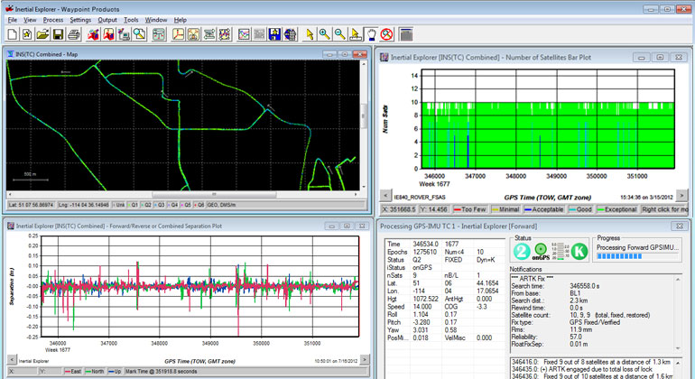
Inertial Explorer® (IE) maximizes the performance of your GNSS/INS hardware by ensuring you get the position, velocity and attitude accuracy your application requires. The tightly coupled integration of GNSS and IMU data delivers precise results, even when lower grade inertial sensors are used. IE can produce results suitable for demanding applications such as mobile mapping, aerial and hydrographic surveying. IMU data from high end Fibre Optic Gyro (FOG) or Ring Laser Gyro (RLG) IMUs, and from lower grade sensor technology such as Micro Electrical Mechanical Systems (MEMS) can be processed.
Flexible Workflow CapabilitiesIE has workflows to match your business and your expertise. A project wizard is available to allow new GNSS/INS users to become productive quickly. For more experienced users, a wealth of processing configuration options are available. Automated processing environment detection (aerial, ground vehicle, pedestrian and marine) allows appropriate GNSS + INS processing settings to be used automatically to simplify workflow and reduce the learning curve needed to start producing quality results.
Features- Full dual frequency GPS, GLONASS, BeiDou, Galileo and QZSS support
- Configurable support of L1+L2 (includes E5b, B2I) or L1+L5 (includes E5b, B2a) for different applications
- Support for up to 32 base stations
- Attitude corrections are automatically applied for the effect of the deflections of the vertical using a geopotential model of the Earth based on EGM2008
- Boresight module for solving angular offsets between IMU and camera frames
- Loosely and tightly coupled GNSS/INS processing
- Flexible ASCII Export Wizard included
- Direct output to Google Earth, RIEGL POF/POQ, DXF, and SBET format
- Build HTML QC reports
- Boresight computation between the IMU and vehicle frame for users that require attitude output relative to the vehicle frame
- Velocity constraints for best pedestrian and ground vehicle results in challenging GNSS signal conditions
- Easy integration with our SPAN® GNSS/INS products
- Streamlined Project Wizard for quick startup
- Single step GNSS and Inertial Measurement Unit (IMU) processing for efficient workflow
- Built-in processing profiles for airborne, ground, pedestrian, UAV and marine projects
- Support for multiple base stations
- Precise Point Positioning (PPP) processing